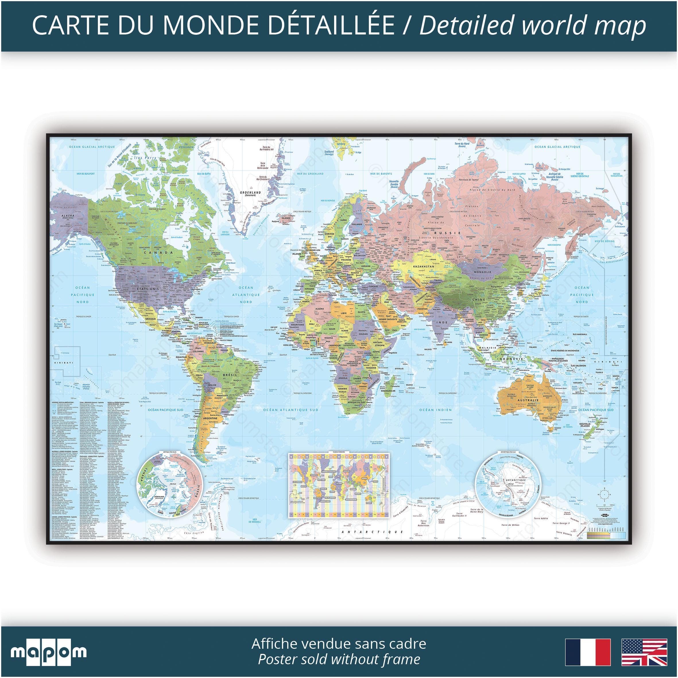
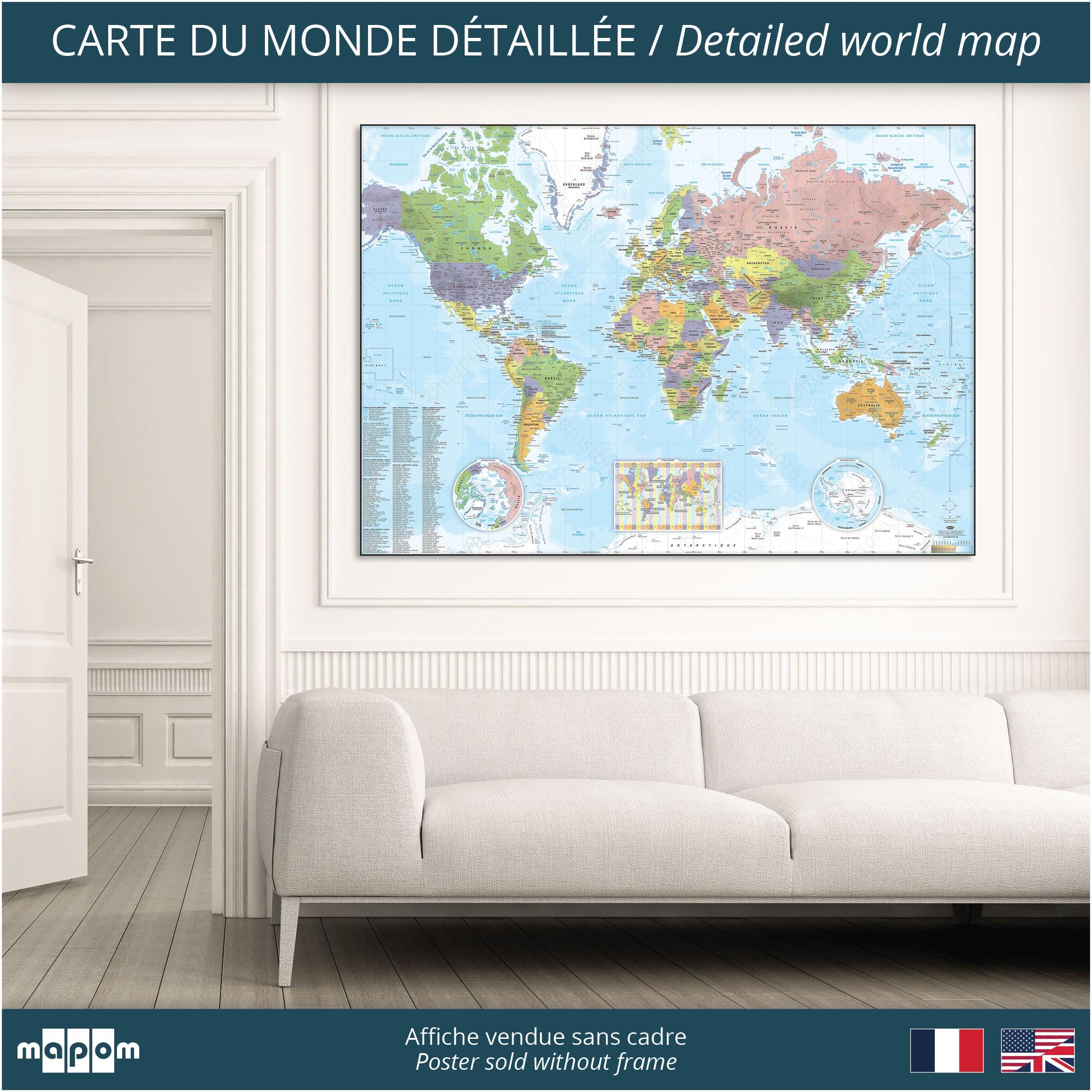
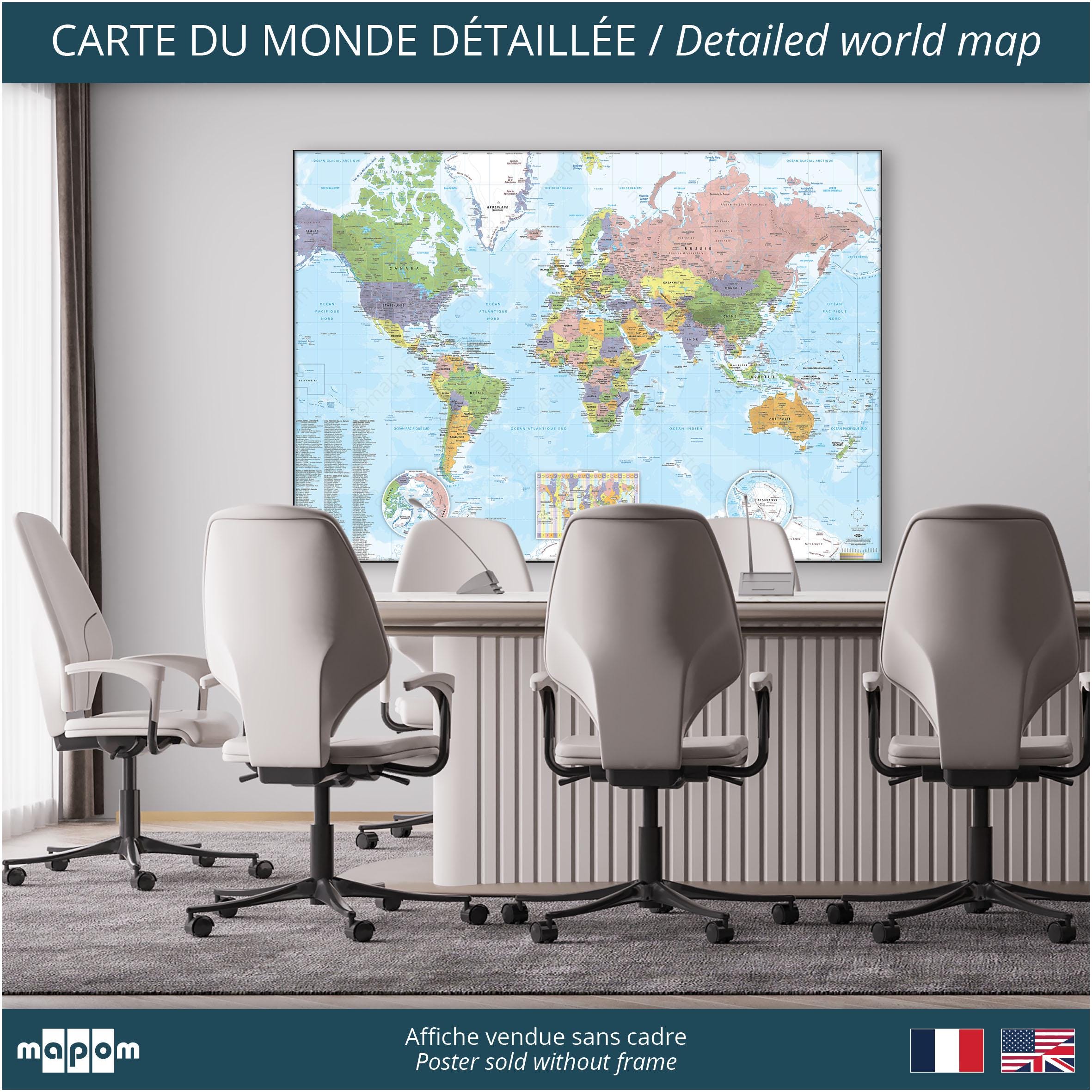
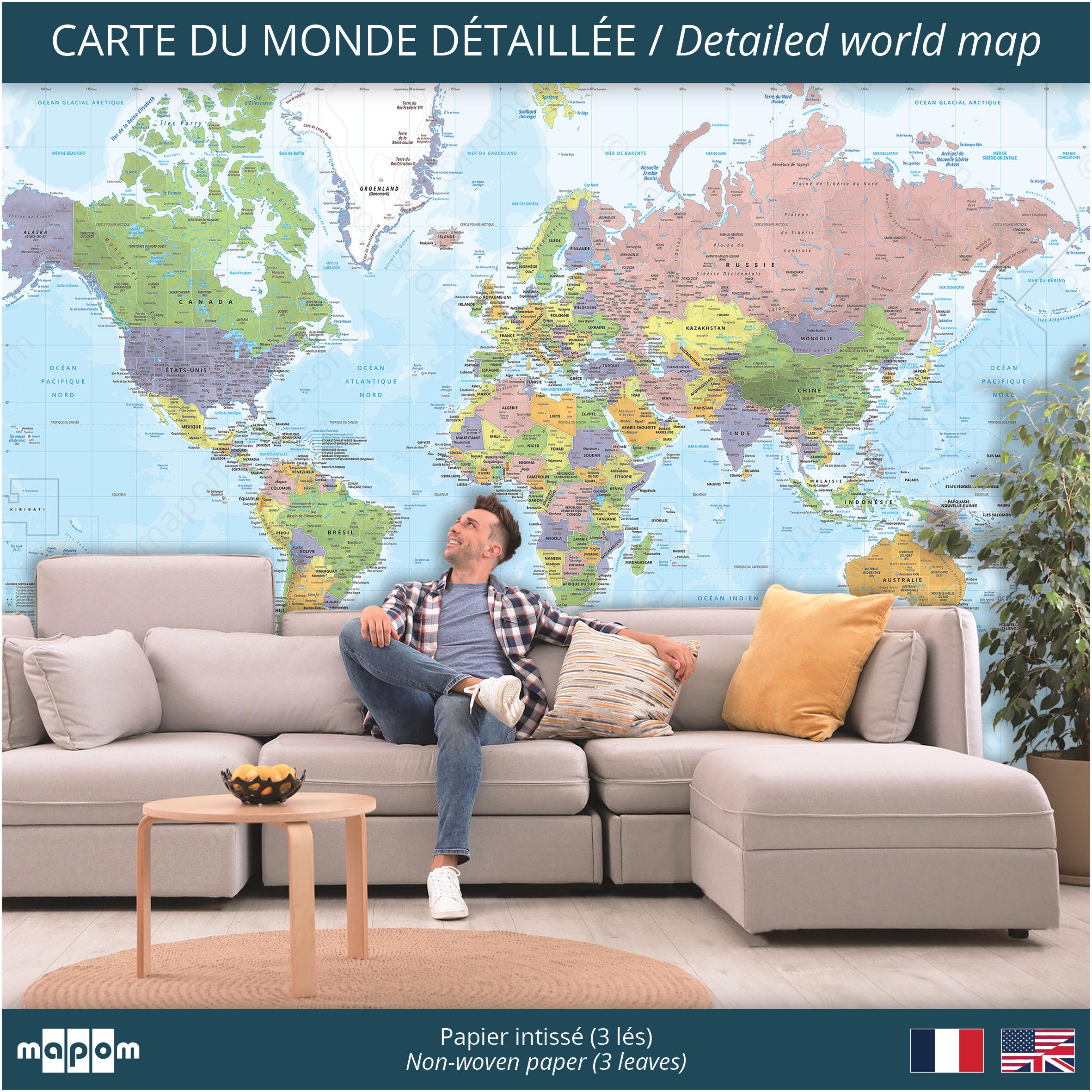
World map SCHOOL style, by Mapom France
QUALITY
• Designed and Made in the Geoatlas workshop, Lyon France
• Print to order on PREMIUM EXTRA MAT 200g/m2 non-woven (PEFC) paper or on EXTRA MAT 350g/m2 (PEFC) fine arts CANVAS.
• UltraChrome EPSON ecological inks (high UV resistance).
• Packaging and shipping from the Geoatlas workshop (France).
• 100% vector design for optimal print quality even in very large format: whatever the scale of the map, the legends are optimized for pleasant reading.
• 25 original style.
• Class M1 Fireproof.
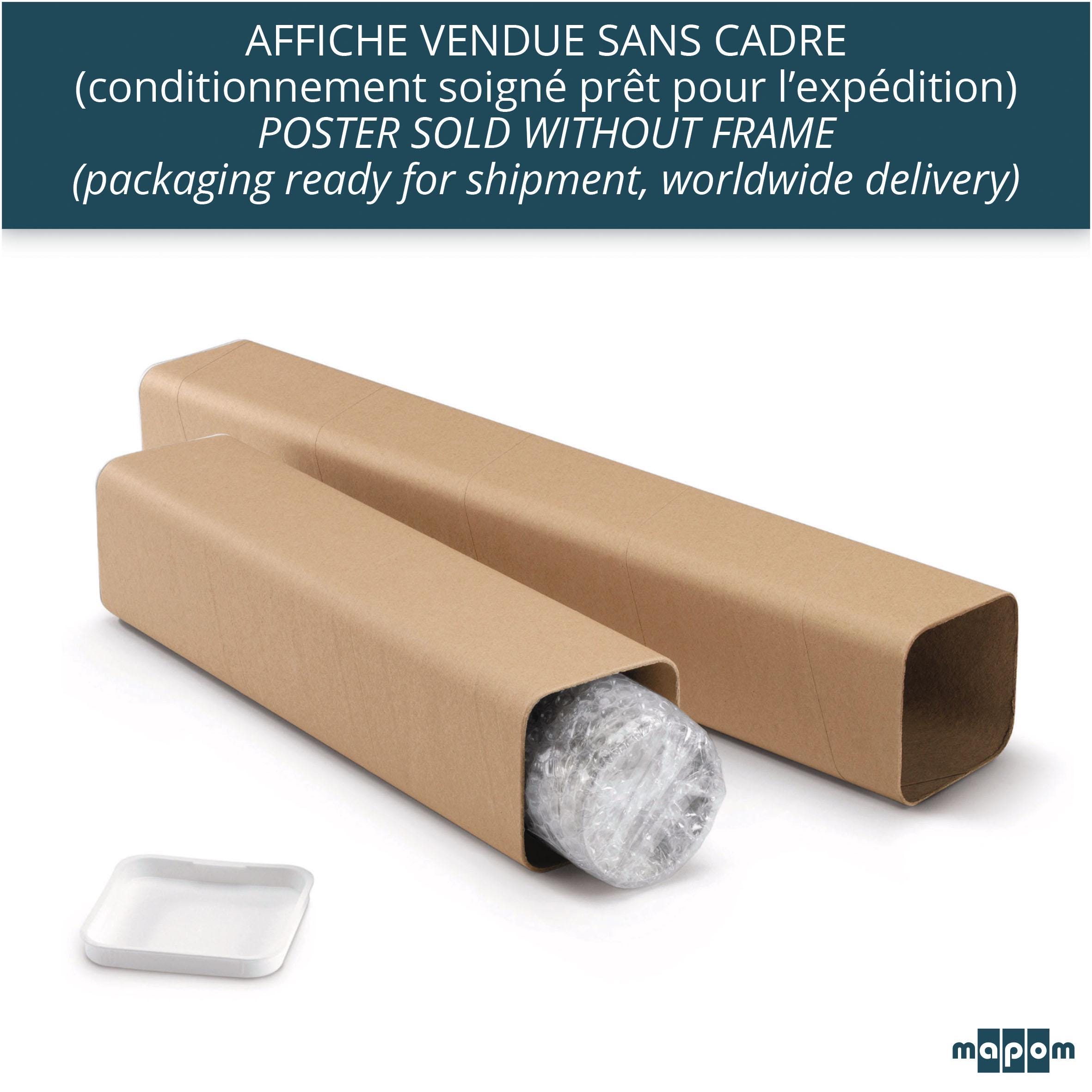
• Poster sold without a frame.
FORMATS (HxW)
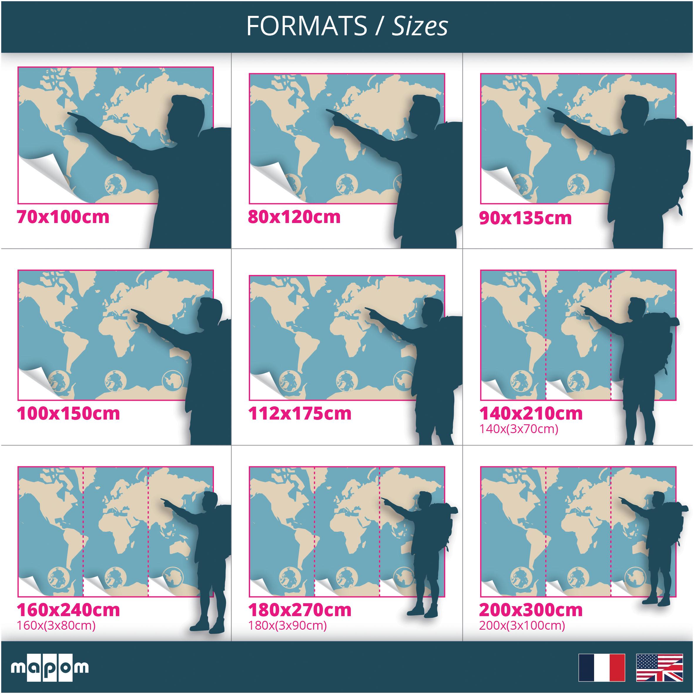
• 70x100cm (poster for standard european frame).
• 80x120cm (poster to frame or hang).
• 90x135cm (poster to frame or hang).
• 100x150cm (poster to frame or hang).
• 112x175cm (poster to frame or hang).
• 140x210cm (3 strips of 140x70cm wallpaper to hang).
• 160x240cm (3 strips of 160x80cm wallpaper to hang).
• 180x270cm (3 strips of 180x90cm wallpaper to hang).
• 200x300cm (3 strips of 200x100cm wallpaper to hang).
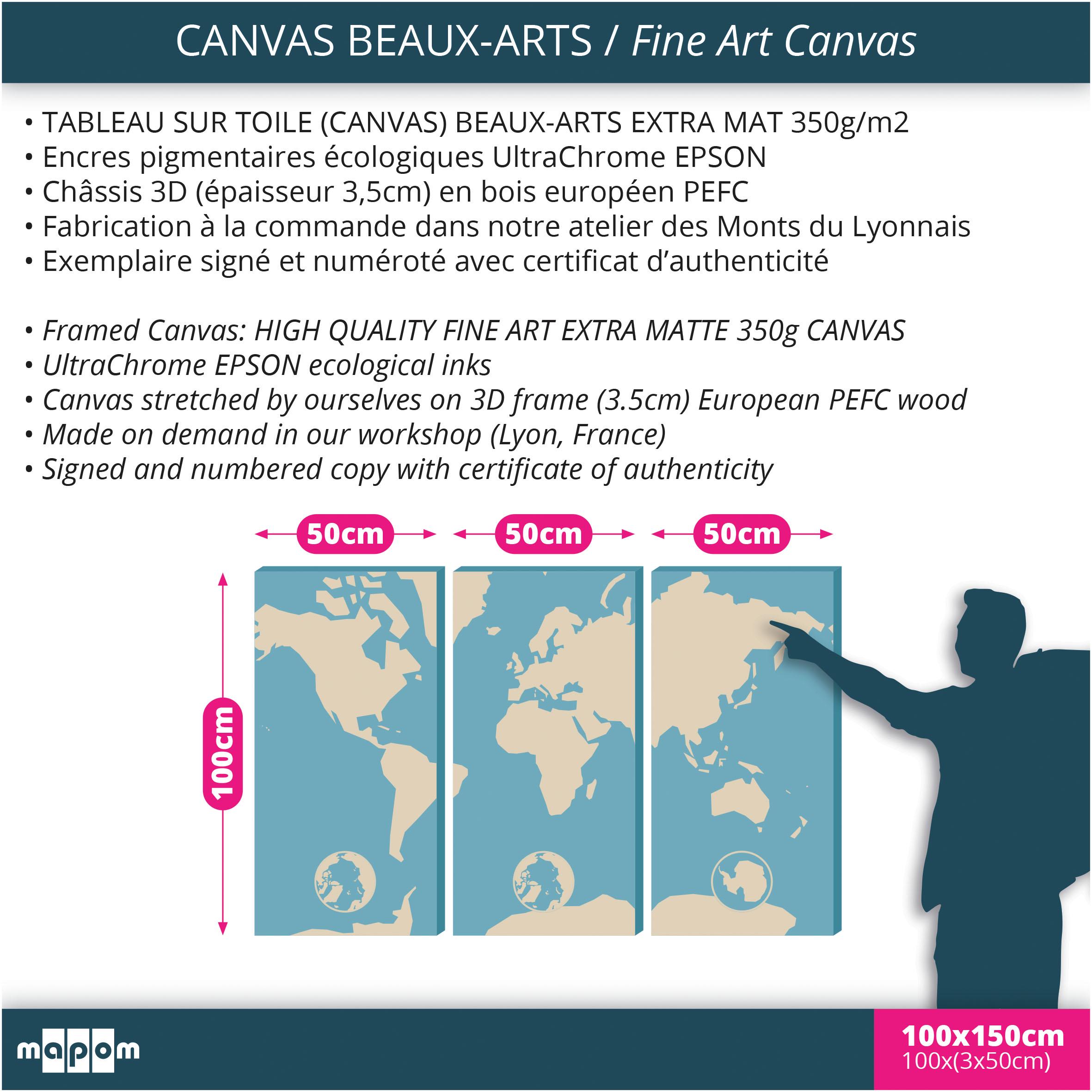
• CANVAS 100cmx3x50cm (fine art canvas to hang).
CARTOGRAPHY
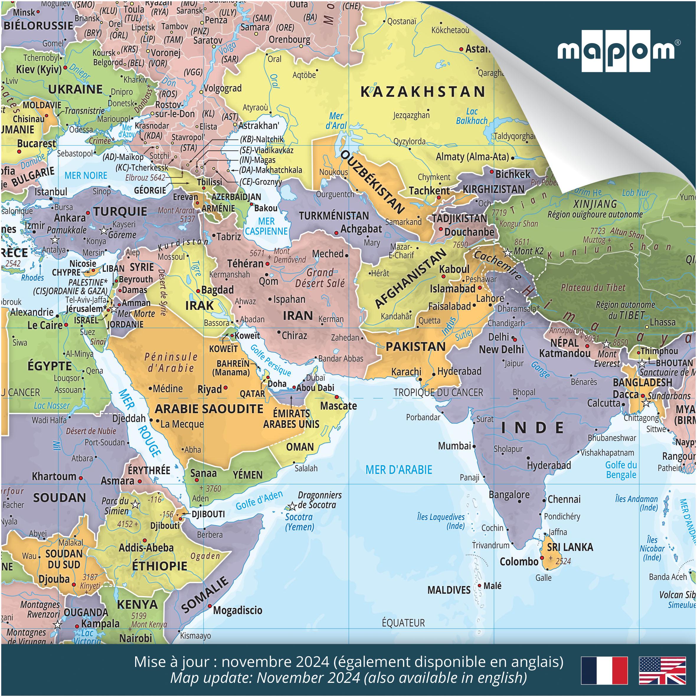
• Detailed World Map (Mercator projection).
• Exclusive creation by Oliv & Oran (aka Mapom), Geoatlas cartographers.
• 15 levels of relief.
• 194 countries recognized by the UN in 2024 and their capitals.
• Sensitive areas and sovereign or contested territories (Palestine, Ukraine, Darfur, Taiwan, Western Sahara, Tibet, etc.).
• International borders and maritime borders.
• Administrative and indexed divisions of large countries (Australia, Brazil, Canada, China, United States, Russia) with regional capitals.
• Main and other important cities.
• North and South Poles.
• Rivers and lakes, massifs and peaks, small and large islands, dependencies.
• Time zone map + International Date Line.
• More than 80 Exceptional natural sites.
• Legends available in English or French.
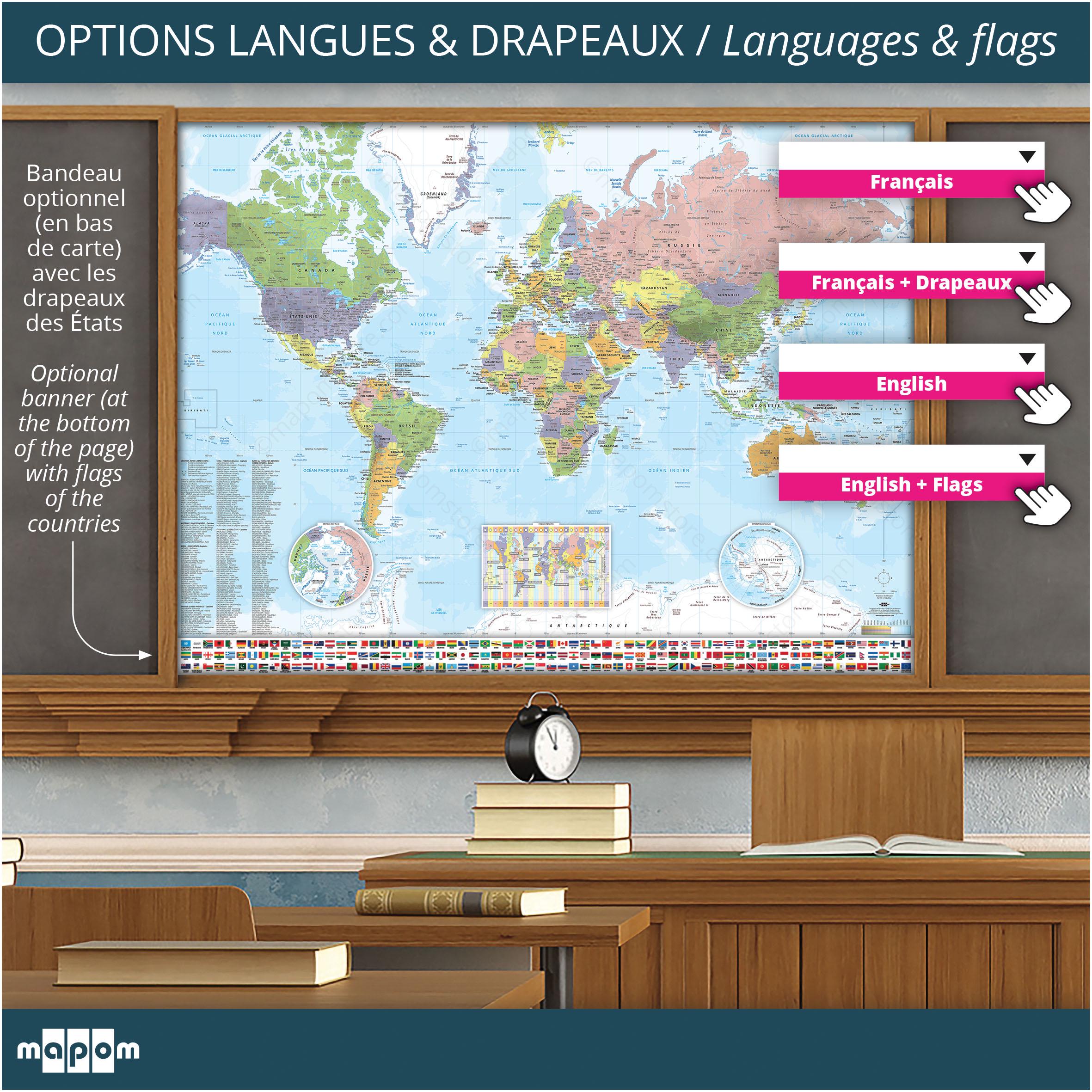
• Flag banner (free option), insertion of a banner along the entire length of the map including the flags of countries and international entities (go to the "français/english" drop-down menu).
• Map update: November 2024.
• Sources: UN, CIA, FRENCH MIN. OF FOREIGN AFFAIRS, GEOATLAS DATA.
WORLDWIDE DELIVERY
• Sturdy and secure packaging, ready for shipping
• For optimal delivery, please provide us with your telephone number (your mobile number would be perfect!).
• Shipping via DPD Chronopost: for the European Union, we deliver to DPD Chronopost Pickup Relays (easy collect with your ID near your delivery address). For deliveries outside the European Union, we deliver to your home or office with the carrier DPD Chronopost (UPS partner).
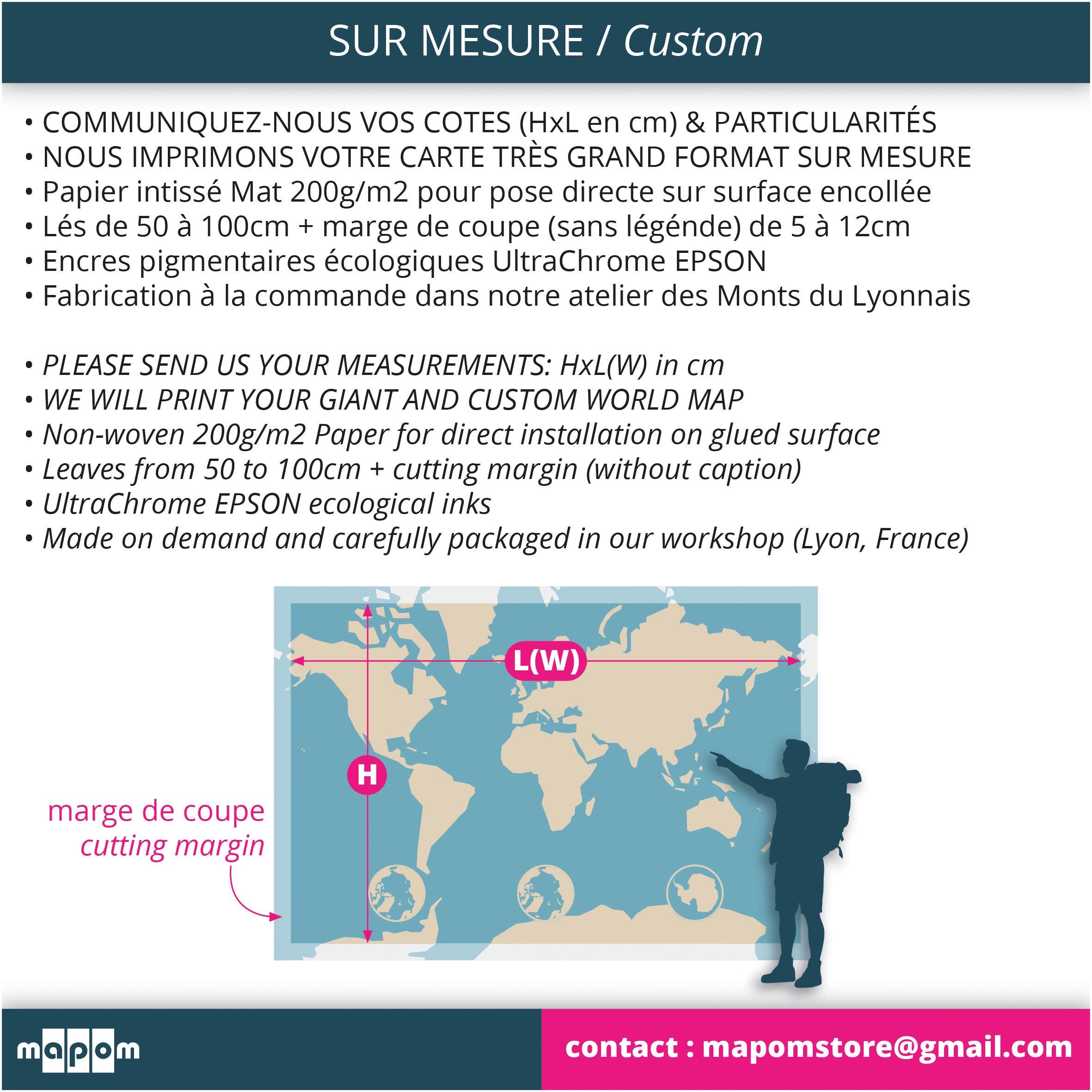
CUSTOM
You are looking for any other size? Please contact us via Etsy.
ECOLOGICAL PROCESS
Mapom respects the environment and limits its waste. We only use ecological pigment inks, print media from PEFC programs, recycled packaging (cardboard, kraft, bullpack...), PEFC wood frames from European programs...
Thank you for your trust, Oliv & Oran
